-
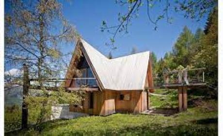
Boek uw verblijf


-
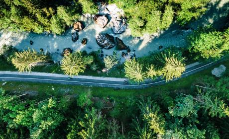
Koop jemountainbikepas
-
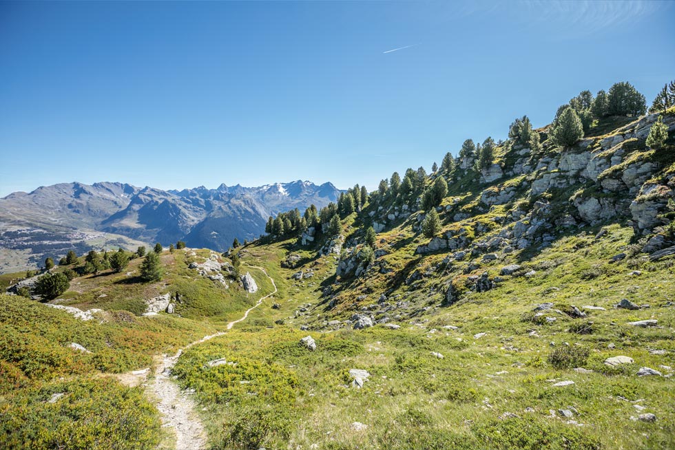
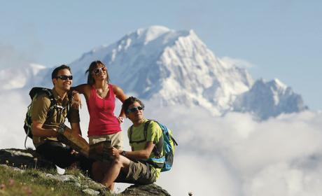
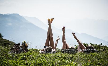
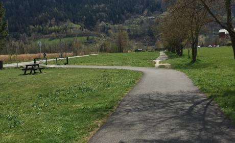
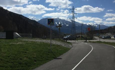
Ontdek30 zomeractiviteiten