-
Boek uw verblijf


-
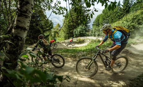
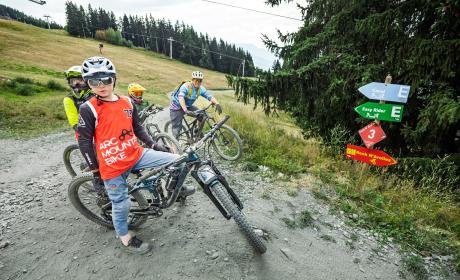
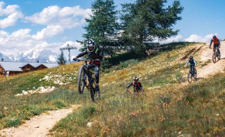
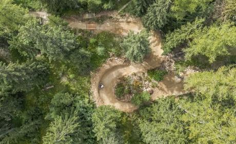
Koop jemountainbikepas
-
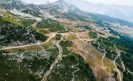
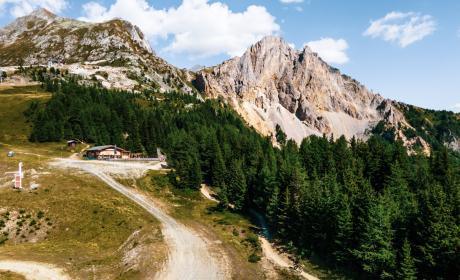
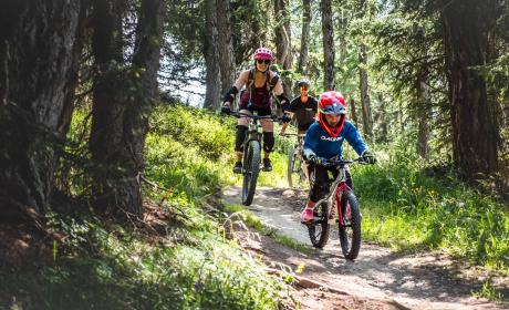
Ontdek30 zomeractiviteiten


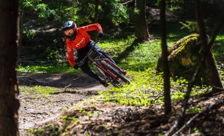
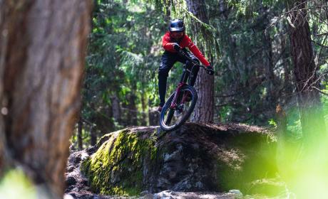
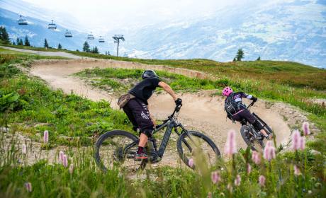
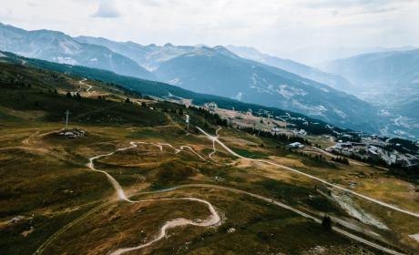
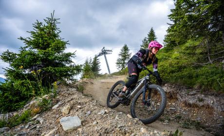
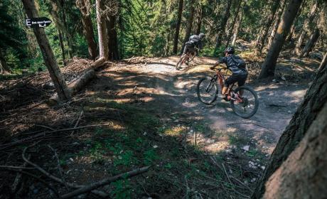
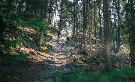
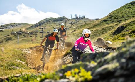
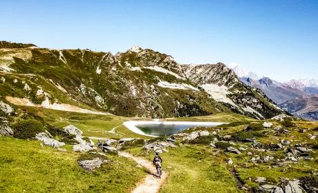
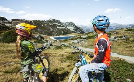
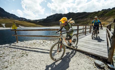
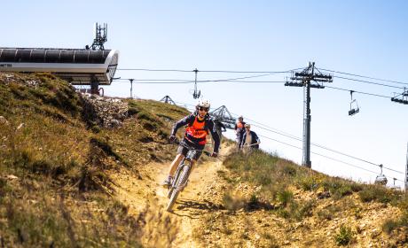
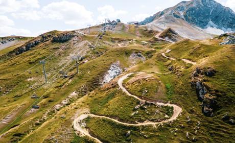
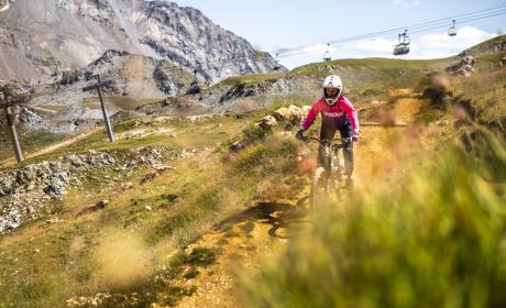
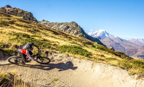
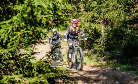
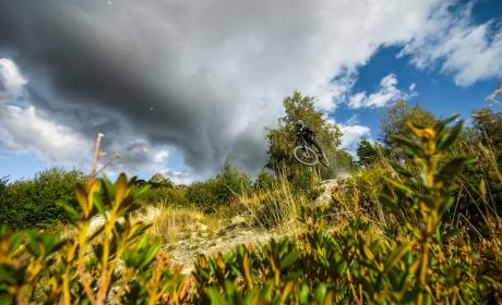
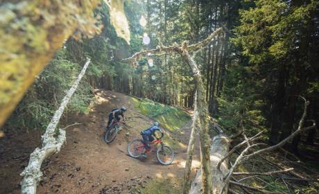
![[Translate to Dutch:]](/fileadmin/user_upload/header-pike-park.jpg "[Translate to Dutch:]")